
Wind power potential area analysis for wind farms
Wind power potential area analysis: with GIS-based analysis we find suitable zones and feasible sites for your wind energy projects.
Choosing the right sites decides the success of a wind farm. Yet genuine potential areas and suitable zones are rare and often hard to identify. Our potential area analysis shows you exactly where the wind not only blows but where your project is also feasible and generates yields in the long term. The goal of the Renewable Energy Expansion Act (EAG) to increase wind power generation by ten terawatt-hours by 2030 requires, depending on the assumed full-load hours and the development of the existing turbine fleet, several gigawatts of new capacity. This makes suitable sites a scarce resource. Added to this is technical development: turbines with large rotors and high hub heights are designed for moderate wind, which makes sites interesting that were previously considered too weak.
To do this we combine modern geodata, wind models and planning bases. You gain clarity for investments and decisions, in Austria as well as in Germany. In a GIS analysis, areas that cannot be used are excluded first: settlements including protective distances, infrastructure such as roads, railways and overhead lines, protected areas and water bodies, and very steep terrain. On the remaining areas, wind speed and expected full-load hours decide. Even the chosen distance to residential areas changes the result greatly: the larger the distance applied, the less area remains; how much depends on the region and the model assumptions. What matters is that the results are traceable: each area should be documented with its exclusion reasons and restrictions, so that you can later justify to landowners, municipalities and authorities why a site is or is not a candidate.
For a wind power potential area analysis in Austria, spatial planning comes in addition. Under the UVP-G, wind turbines are to be built primarily on areas that the supra-local wind energy spatial plan of the federal province provides for this purpose. The provinces proceed differently: Styria, for example, distinguishes exclusion, priority and suitable zones, while Lower Austria designates suitable zones in a sectoral spatial planning programme for wind. Where no supra-local plan exists, the consent of the host municipality must be demonstrated for the permit. In Germany, the Wind Energy Area Requirement Act (Windenergieflächenbedarfsgesetz) obliges the federal states to designate on average 1.4 percent of their area for wind energy by 2027 and 2 percent by 2032. This also influences where new wind energy areas emerge. The result is usually a list of areas ranked by suitability, with capacity potential, restrictions and expected yield. It serves as a basis for discussions with landowners and municipalities; modelled wind data are later confirmed by measurements.
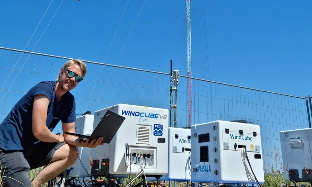
For the areas that meet your criteria, the next step is the technical and economic feasibility study with micrositing. We clarify the yield basis with wind measurement using mast, LiDAR or SoDAR, and the suitability of the site with the site suitability of wind turbines. How to present a project to the municipality and the public is described in project presentation and public relations for wind farms.