Landscape and townscape visual impact assessment for PV plants
Landscape and visual impact assessment for PV plants shows how agri-PV, ground-mounted and rooftop plants affect the area and supports your procedure.
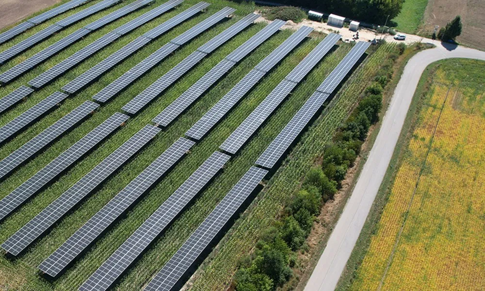
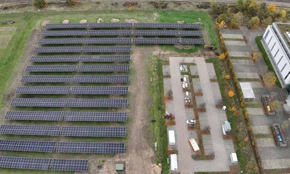
Create clarity for planning and permitting. With sound analyses, we capture the visual impact of planned agri-PV, ground-mounted or rooftop plants on landscape and townscape. The result is precise, comprehensible and practical. A landscape and townscape assessment answers the question of where a plant can be seen from and how strongly it changes the appearance of the landscape and the settlement. The visibility analysis shows the areas affected, and the photomontage makes the impact visible from residents' point of view. This helps authorities, technical experts and municipalities in their assessment.
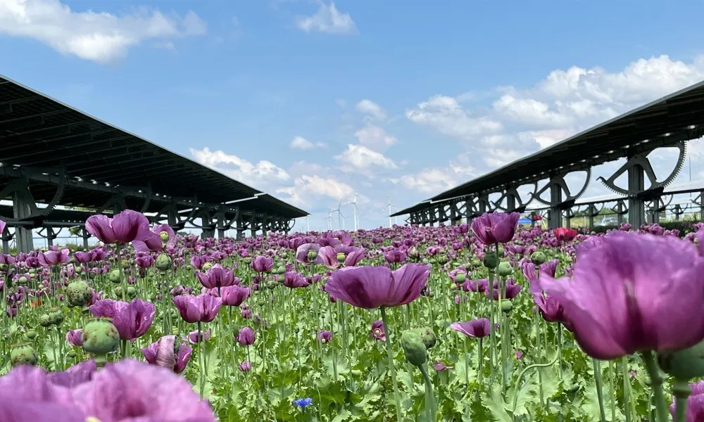
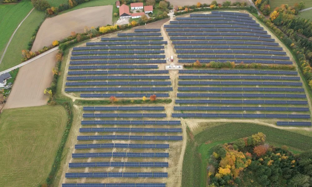
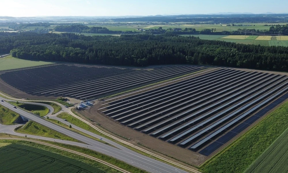
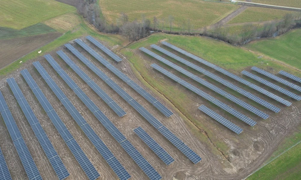
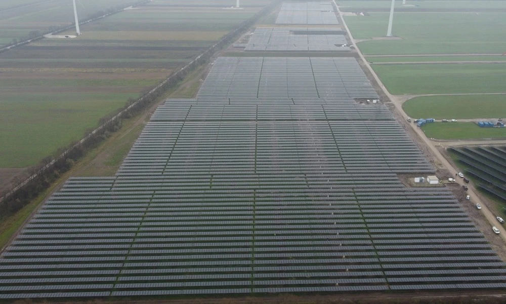
In the landscape assessment, the significance of the impact results from the intensity of the plant's effect and the sensitivity of the landscape. The intensity of effect depends on relief, size and height of the modules, light reflections, visual screening by trees and shrubs or terrain elevations, and the position relative to the horizon line. On plains and hilltops, the visual range extends far without planting; in valleys it generally ends at the ridges; on slopes it is considerably larger. Elevated modules and tracking systems can reach heights of around 6 m, and a plant has a particularly strong effect if it clearly changes the silhouette on the horizon line. For the sensitivity of the landscape, in addition to its character and vulnerability, existing impacts such as buildings, radio masts or high-voltage lines are also of importance. In practice, visual ranges can extend up to 3,000 m.
In nature conservation law, the landscape is a standard in its own right: the nature conservation assessment criteria for the natural environment, recreational value and landscape depend on the respective provincial law. For townscape and cultural assets, the landscape assessment is about the technical alteration of the surroundings of protected or worth-preserving objects. Viewsheds of town centres worth preserving and of monuments can prevent a permit, and exposed locations and recreational areas are considered sensitive. Depending on the site, sight lines to town centres and monuments also feed into the assessment. For the forecast, photomontages from frequently used viewpoints are recommended, and significance must always be assessed case by case. Impairments can be addressed in this order: first choosing a site with low visibility, then avoidance and minimisation, and finally compensation. This includes low mounting heights, unobtrusive fences, low-reflection modules and screening strips of native shrubs and trees about 10 to 15 m wide.
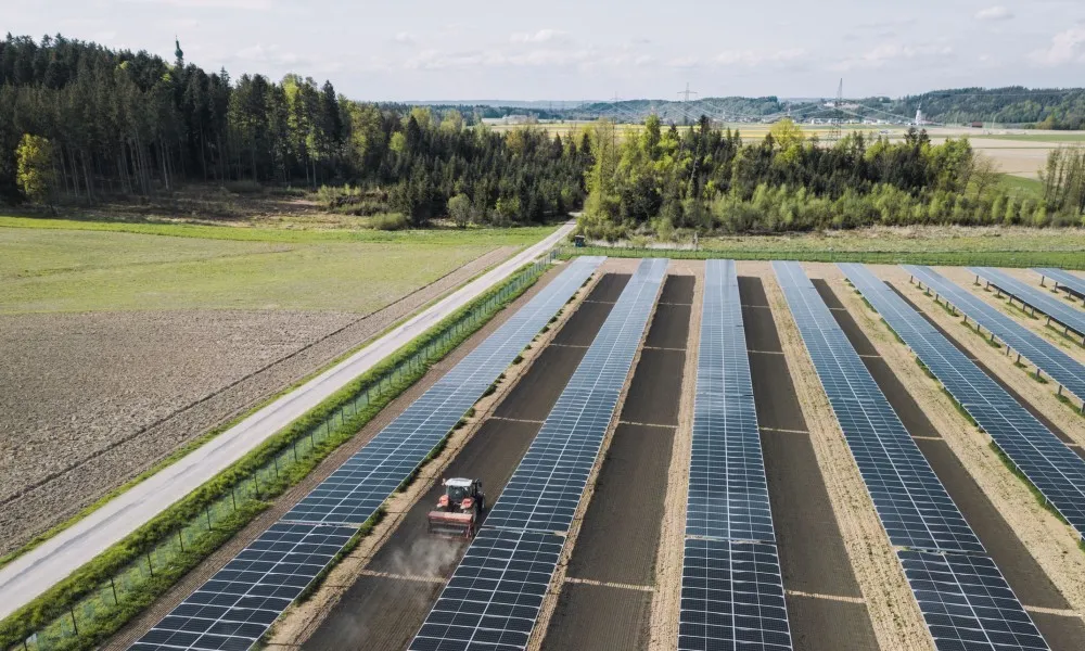
Realistic visibility analyses and photomontages make the effects on the landscape and on residents visible. You thus get strong arguments for a permittable project. We support you from data collection to procedural support and know the requirements of technical experts. Further services build on the assessment: the technical contributions to the rezoning procedure, the glare assessment for PV plants and support for the permit procedure. For agricultural land, there is our agri-PV system EWS Sonnenfeld®. For wind farms, there is the landscape and townscape assessment for wind turbines.